....
I'd not actually brought any maps. I'd looked at a route online before I left my mum's and wrote some key milestone locations/route on a scrap of paper. I did get a
little lost. I did though pass through a village of Gosforth, found a brilliant little local bakery, had a sandwich a pie and a fruit almond slice. Yum. Then hugged the main road for a few miles with big trucks playing their amusing "how close can I get" little charming game. Oh how we smiled at each other.

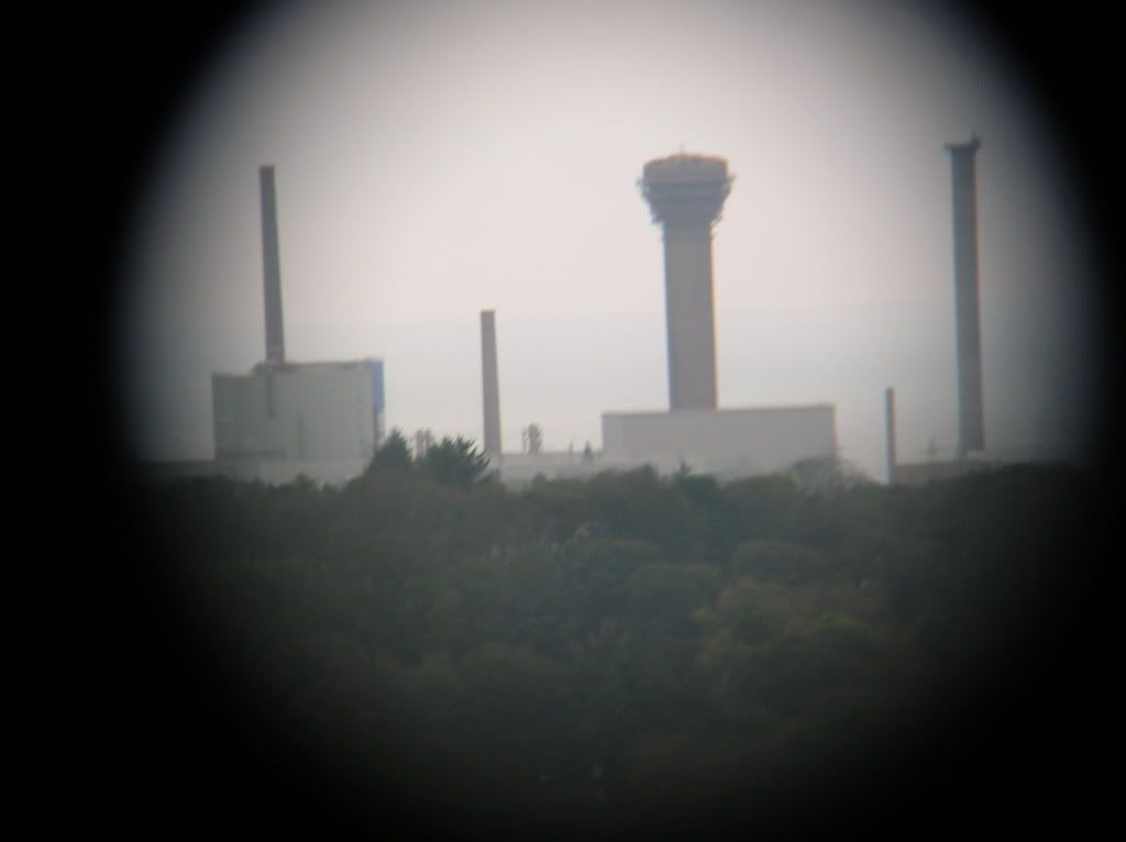
Eventually I took away from the main road at Calderbridge with "road closed" signs which I figured I'd ignore as I could always push/lift/carry around whatever would block me. I climbed, and climbed, and climbed..... seeing the nuclear processing plant at Seascale
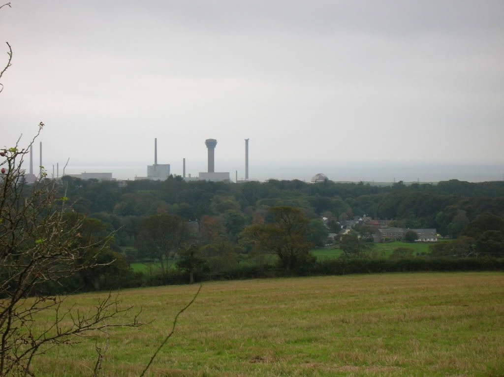
which I held the camera up to the telescope I had
I found myself in a cold sheep-covered hill and my front derailleur clanked and stopped working. I had to bend metal, fortunately I brought some tools. I then eventually descended a long fast road to Ennerdale Bridge, passing the "road closed" which was really just hedge trimming as far as I could tell. I pushed back the workmen and then more climbing following signs for Lowes Water.
I noticed I was crossing the Coast to Coast (C2C) route. I saw it pointing to a side road but ignored it and thought I'd stick to the main route as I had no map, to then later find the C2C was cutting corners and taking quiet roads, so I figured I'd then follow the C2C signs all the way. That probably added an hour and lot of sweat to the rest of the day.
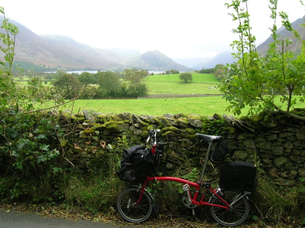
I eventually got to Loweswater
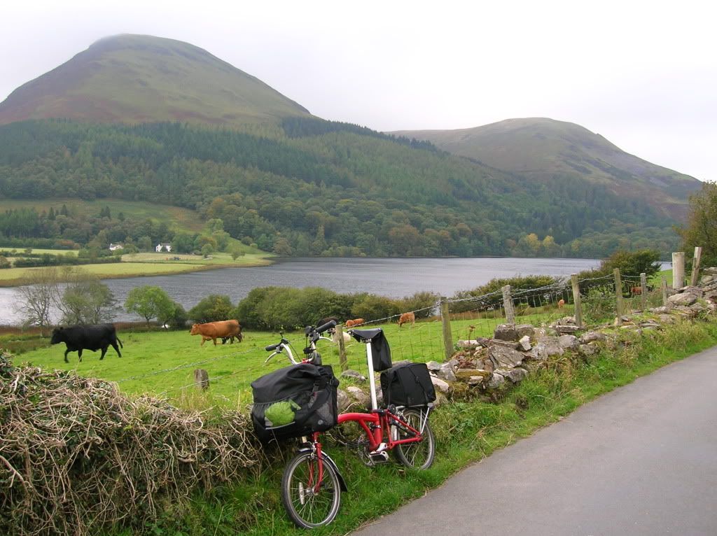
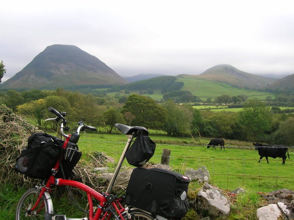
With Crummock Water and Buttermere ahead. There is actually a road through there either via Newlands or over Honister Pass but I stuck to my planned route of via Winlatter Pass to Keswick.
.....