This afternoon I tackled my 17 mile hill climb route. This is the toughest one I normally ride, and I'm in horrible shape for it. Still, it had to be done, and I hadn't done it since Uncadan's birthday last fall.
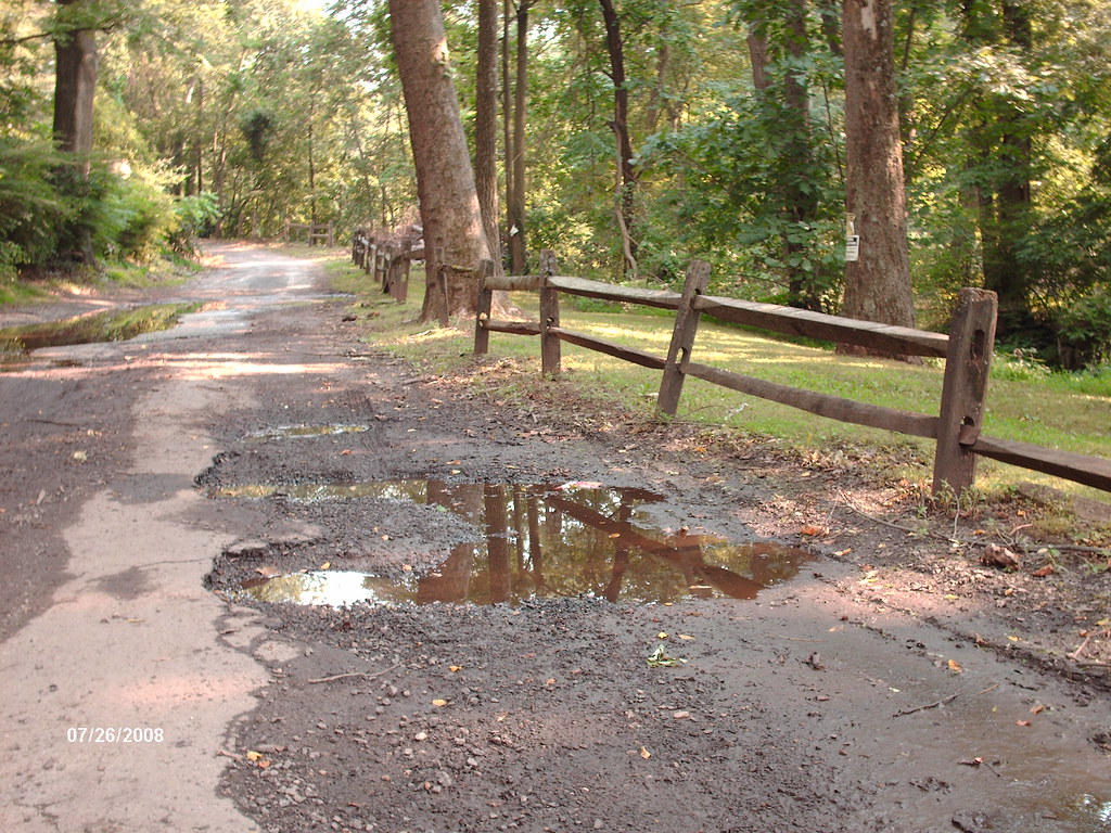
It follows my normal ten mile loop for five miles, including the lovely Mill Lane:
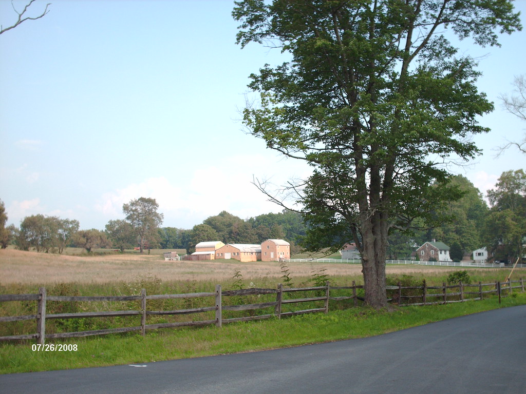
Once I'm past that, and leaving 'downtown' Kimberton (a dozen buildings), I head up and over the local ridge. The long and annoying false flat on Kimberton Road leads into more farm country, along with a lot of high-end homes.
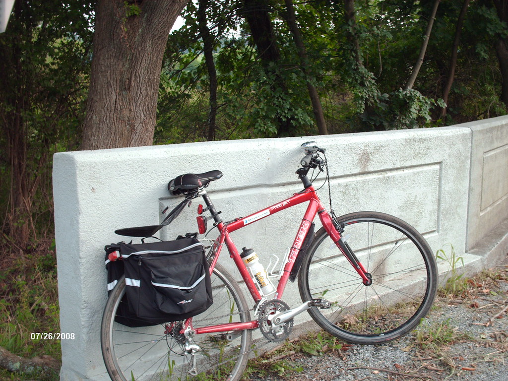
Turning onto Art School Road, you cross a little bridge:
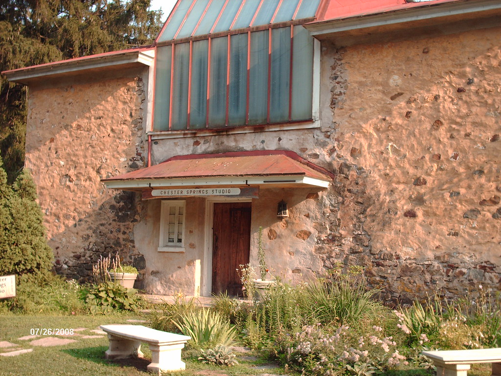
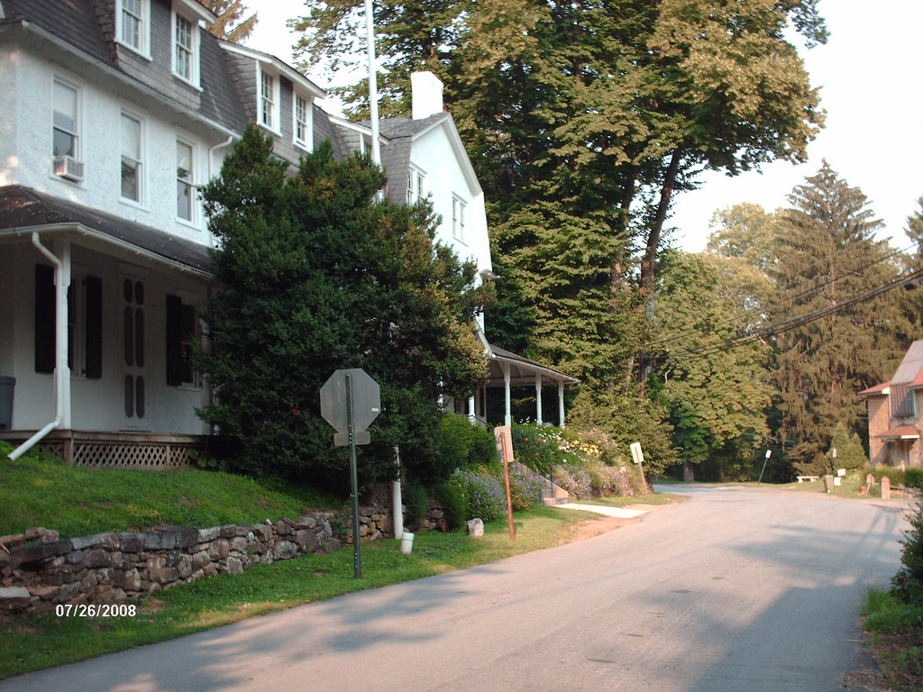
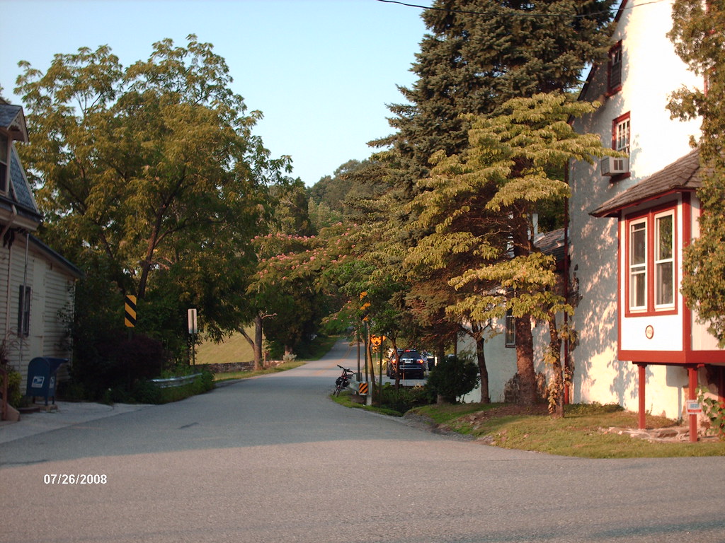
... and climb up and down on rolling hills to reach what the tourism folks call "historic Yellow Springs." The 'town' is about a half-dozen buildings, including an art studio and some nice old construction:
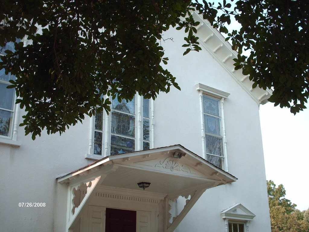
Pedaling uphill some more through the woods, you come across Vincent Baptist, built in 1812 and continually in use. I met the pastor last fall when I first came across the church, and we hit it off. Although I'm not Baptist and worship elsewhere, I have an invitation to go riding with him sometime. The pastor himself lost a large amount of weight before he was called to ministry.
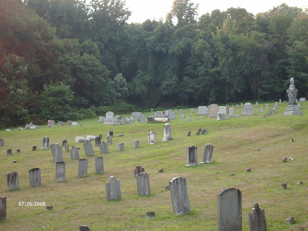
The church is tucked into the woods and its graveyard sits beside it on the hill:
"One short sleep past and we wake eternally...."
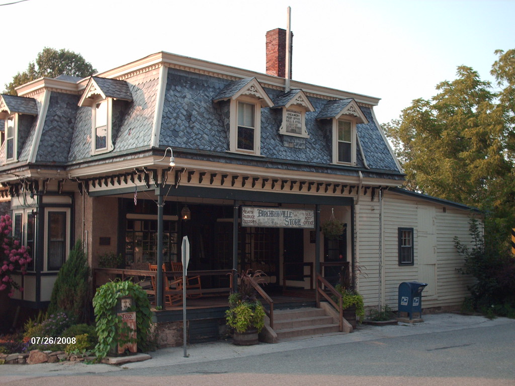
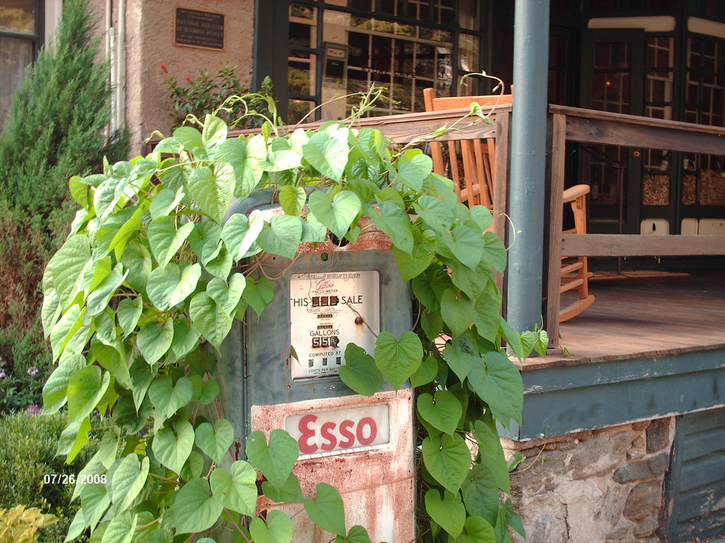
Then it's up. Up Horseshoe Trail Road (part of the 130 mile Horseshoe Trail hiking path from Valley Forge to the Appalachian Trail), and up Hollow Road to Birchrunville. The General Store dates to 1898, and is on the National Register of Historic Places:
Need gas before you go?
But the sun is sinking in the west, and the shadows lengthen, and so it's time to leave Birchrunville, and head down the mountain home:
It's a mile and a half down the mountain, straight through the Sheeder-Hall covered bridge, and then home. I easily maintain 22 MPH on the downhill, and if I braked less, I'd be even faster. But the covered bridge is one lane, and I'd rather not risk hitting a car head-on at the bridge entrance.