


Question about Highway 1 ride
 07-24-09, 03:21 PM
#1
Junior Member
Thread Starter
Join Date: Jul 2009
Location: San Jose, CA
Posts: 12
Bikes: Trek 1000 (2006), Trek 5200 (2006)
Mentioned: 0 Post(s)
Tagged: 0 Thread(s)
Quoted: 0 Post(s)
Likes: 0
Liked 0 Times
in
0 Posts
Question about Highway 1 ride
Hi I'm new to this forum.
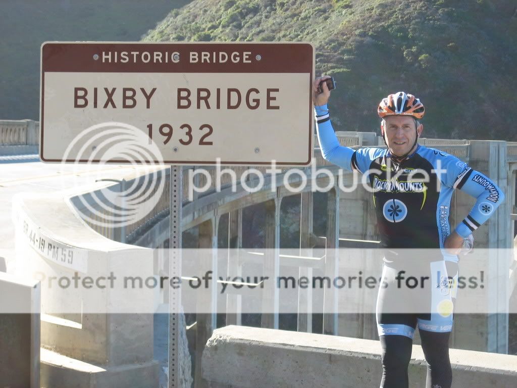
I'm planning to ride from San Francisco to Central or Southern California. I've read quite a few articles about riding on highway 1, so I checked out some of the road conditions on google map. It seems like highway 1 does not always have a lane for bikes. Especially in places like the Bixby Bridge, it just looks really scary. Do riders actually ride on highway 1 all the way from north Cal to south Cal?
Thanks!
 07-24-09, 09:26 PM
#2
Don't mince words
I believe the Aids ride from SF to LA rides it, as does the Tour de California.
We plan to do it on the tandem in October (SF to Santa Barbara) so I'll let you know what that's like.
We plan to do it on the tandem in October (SF to Santa Barbara) so I'll let you know what that's like.
07-24-09, 11:14 PM
#3
ES&D
Join Date: Oct 2006
Location: Roadieville, USA
Posts: 1,377
Bikes: 3Rensho, Merlin XL, Melton custom, Michael Johnson tandem, Look 481SL, Pedal Force RS
Mentioned: 0 Post(s)
Tagged: 0 Thread(s)
Quoted: 1 Post(s)
Likes: 0
Liked 0 Times
in
0 Posts
Some random thoughts on riding Hwy 1:
Ride between Half Moon Bay and SLO
Ride from north to south
Best part is between Carmel and Cambria, the world famous Big Sur coastline.
Southbound, the prevailing wind is at your back
Hardest climb is ~5 miles north of Ragged Point
Ride during a week day, if you can.
Riding on any of the bridges is not an issue.
07-24-09, 11:45 PM
#4
Bicycle Lifestyle

Join Date: Jan 2008
Location: Pacific Grove, Ca
Posts: 1,737
Bikes: Neil Pryde Diablo, VeloVie Vitesse400, Hunter29er, Surly Big Dummy
Mentioned: 0 Post(s)
Tagged: 0 Thread(s)
Quoted: 0 Post(s)
Likes: 0
Liked 1 Time
in
1 Post
yes, i ride this often. (Monterey to Ventura)
big sur and back, etc..
big sur and back, etc..
07-24-09, 11:52 PM
#5
Senior Member
Join Date: Nov 2008
Location: Bay Area, Calif.
Posts: 7,239
Mentioned: 13 Post(s)
Tagged: 0 Thread(s)
Quoted: 659 Post(s)
Likes: 0
Liked 7 Times
in
6 Posts
Yes, the Hwy. 1 coastal route is a great bike tour, but there are some sections where the road is rather narrow. These are mainly south of Carmel where the traffic is dominated by tourists, so the suggestions to avoid weekends when possible are good. If you can schedule the trip to be before Memorial Day or after Labor Day, that would also cut down on the traffic. But there are quite a few bike tourists on this route so the motorists are expecting cycle traffic and are generally good about sharing the road.
Note that there are some sections of Hwy. 1 that are not open to cyclists where the road is limited access freeway. And in other places you may choose to get off the highway for awhile - one example is between Monterey and Carmel where the famed 17-mile Drive is a very scenic alternate route.
The route and some pictures of my most recent tour down part of the coast (SF - Cambria) can be seen at:
https://www.everytrail.com/view_trip.php?trip_id=220688
07-25-09, 01:14 AM
#6

Surf Bum
Join Date: Aug 2008
Location: Pacifica, CA
Posts: 2,184
Bikes: Lapierre Pulsium 500 FdJ, Ritchey breakaway cyclocross, vintage trek mtb.
Mentioned: 0 Post(s)
Tagged: 0 Thread(s)
Quoted: 13 Post(s)
Likes: 0
Liked 5 Times
in
3 Posts
About 15 miles south of San Francisco you'll pass through "devil's slide" where the highway is about to fall off the cliff and there isn't really any shoulder. It's pretty sketchy and I personally prefer to ride my cyclocross bike and go up and over what's left of the old road that existed before HWY 1 was built. (I do this at least once a week).
A few weeks ago I ran into a couple heading down the coast and so I rode with them around devil's slide on the highway instead and it went without incident - most cars were courteous enough to wait for a break in traffic to go around us. Then on my way back home over on the old road/trail, I saw a fully loaded touring couple coming over that way, and a guy (in webcor kit) on skinny road tires, so I guess it's doable (in summer when everything is dry) if you'd prefer to try that adventure. But most days it's all mountain bikes 'cept me on my cross bike. The views are amazing, I'll say that. That's why I ride over the mountain that way so often!
Looking back down on Pacifica, with views all the way to Marin:
07-25-09, 10:16 AM
#7
Senior Member
Join Date: Aug 2006
Location: Central Coast, CA
Posts: 3,392
Bikes: Surly LHT, Specialized Rockhopper, Nashbar Touring (old), Specialized Stumpjumper (older), Nishiki Tourer (model unknown)
Mentioned: 0 Post(s)
Tagged: 0 Thread(s)
Quoted: 1 Post(s)
Likes: 0
Liked 2 Times
in
2 Posts
It's very ridable, but not for the inexperienced. I'd recommend getting a rearview mirror. If you're on a section of road with no shoulder and you see that cars are going to be passing you from both directions at the same time (limiting the ability of the overtaking car to swing wide around you) get off the road if you can and wait for trouble to pass. If there's no room to pass considerate drivers will wait, but there are too many inconsiderate ones - often driving big trucks or motorhomes with extended mirrors.
There are nice hiker/bikers sites at Pfeiffer Big Sur, Kirk Creek, and Morro Bay State Parks. There's a hiker/biker site at San Simeon, though it's not the most pleasant (right next to the highway, exposed, right next to other campsites, lumpy ground, only a small area into which all the hiker/bikers have to crowd.)
I haven't checked out Limekiln. When I camped at Plaskett Creek there were no hiker/biker spots, but I think that may have changed.
07-25-09, 10:42 AM
#8
Junior Member
Join Date: Oct 2008
Posts: 10
Mentioned: 0 Post(s)
Tagged: 0 Thread(s)
Quoted: 0 Post(s)
Likes: 0
Liked 0 Times
in
0 Posts
Watch out for cars in Newport->Laguna. The lanes are tight, and traffic is heavy. The cars parked on the side don't often watch out for cyclists before pulling into the lane.
07-25-09, 07:34 PM
#9
Junior Member
Thread Starter
Join Date: Jul 2009
Location: San Jose, CA
Posts: 12
Bikes: Trek 1000 (2006), Trek 5200 (2006)
Mentioned: 0 Post(s)
Tagged: 0 Thread(s)
Quoted: 0 Post(s)
Likes: 0
Liked 0 Times
in
0 Posts
Thank! I think I got it. Your comments are all appreciated.
08-06-09, 04:37 PM
#10
Junior Member
Thread Starter
Join Date: Jul 2009
Location: San Jose, CA
Posts: 12
Bikes: Trek 1000 (2006), Trek 5200 (2006)
Mentioned: 0 Post(s)
Tagged: 0 Thread(s)
Quoted: 0 Post(s)
Likes: 0
Liked 0 Times
in
0 Posts
Back again. As I was planning for the trip, I notice that the only route that connects Gaviota and Santa Barbara is highway 101. But this section of highway 101 is highlighted with a darker yellow on google map, I think it means that this part has limited access. Does anyone know if I can actually bike on 101 here?
08-06-09, 04:56 PM
#11
Senior Member
Join Date: Nov 2008
Location: Bay Area, Calif.
Posts: 7,239
Mentioned: 13 Post(s)
Tagged: 0 Thread(s)
Quoted: 659 Post(s)
Likes: 0
Liked 7 Times
in
6 Posts
Back again. As I was planning for the trip, I notice that the only route that connects Gaviota and Santa Barbara is highway 101. But this section of highway 101 is highlighted with a darker yellow on google map, I think it means that this part has limited access. Does anyone know if I can actually bike on 101 here?
In general the 101 shoulder is fine, but (at least when I rode there last) there was one bridge where the shoulder disappeared. We looked for a good gap in the traffic and tried to get across the overpass as quickly as possible, but it could be a problem if there's fog or heavy traffic.
