


"Could not calculate biking directions" error on Google Maps?
 02-10-16, 07:48 PM
#1
Banned.
Thread Starter
Join Date: Nov 2015
Location: Pacific Northwest
Posts: 1,155
Bikes: 2017 Fuji Jari
Mentioned: 12 Post(s)
Tagged: 0 Thread(s)
Quoted: 227 Post(s)
Likes: 0
Liked 0 Times
in
0 Posts
"Could not calculate biking directions" error on Google Maps?
If you get an error message on Google Maps saying "Sorry, we could not calculate biking directions from "A" to "B"" ("A" and "B" being a physical address) does that mean there's no bike route available between the two destinations?
Anyone know how to get around this?
Example: Trying to get the route from Apple River Campground in Somerset, WI to Northwood Shores in Rice Lake, WI but I get the above error. I can map it to the downtown area of Rice Lake but nothing further north.
However, when I switch out Northwood Shores with Shady Rest Campground it gives me directions. Why is this odd? Because Northwood Shores and Shady Rest Campground are less than 6 miles from each other and requires you to take the same roads departing. Arriving is different due to direction of travel.
First time I've ever ran into this error so wanted some clarification
 02-10-16, 08:20 PM
#2
Senior Member
Join Date: Sep 2015
Location: Left Coast, Canada
Posts: 5,126
Mentioned: 24 Post(s)
Tagged: 0 Thread(s)
Quoted: 2236 Post(s)
Liked 1,314 Times
in
707 Posts
Depending on where google gets its facts some roads appear to it to be restricted use and not open to bicycles.
The Fraser Canyon portion of the Trans Canada Hwy is like that. Google will not calculate a bike route through it even though people ride bikes on it all the time.
The Fraser Canyon portion of the Trans Canada Hwy is like that. Google will not calculate a bike route through it even though people ride bikes on it all the time.
02-10-16, 10:35 PM
#3
Banned.
Thread Starter
Join Date: Nov 2015
Location: Pacific Northwest
Posts: 1,155
Bikes: 2017 Fuji Jari
Mentioned: 12 Post(s)
Tagged: 0 Thread(s)
Quoted: 227 Post(s)
Likes: 0
Liked 0 Times
in
0 Posts
Good to know. I wonder why it would give me directions to one campground and not the other when they cover basically the same roads. There must be one road on the first where it appears to be restricted.
Odd because it's not the major highway in the area. Going to post in the regional section for Wisconsin and find out for sure.
Odd because it's not the major highway in the area. Going to post in the regional section for Wisconsin and find out for sure.
02-11-16, 06:09 AM
#4
Senior Member
Join Date: Sep 2013
Location: San Antonio TX
Posts: 799
Mentioned: 4 Post(s)
Tagged: 0 Thread(s)
Quoted: 152 Post(s)
Likes: 0
Liked 1 Time
in
1 Post
I suppose Google Maps has its uses but in my experience it can stumble badly when it comes to the bicycle option, I'd guess the data base that drives it in insufficient when it comes to specific local conditions.
Plot a route across my city and half the time it will route you down major highway access roads and such with no roadside clearance for bicycles. Otherwise on cross-country routes it will send you out of your way to official "bicycle trail" routes which may or may not be worth it.
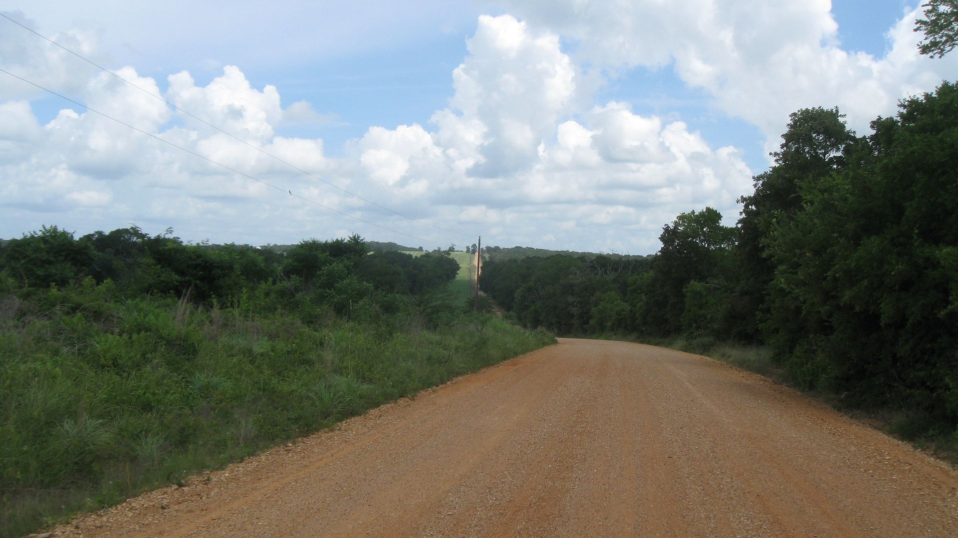
The clincher for me was day three and 170 miles into my TX-NY trip where it routed me down an eight mile backroad that first turned from pavement to gravel, and finally to three miles of unrideable loose sand. A passing thunderstorm right before that didn't help it any....
...neither did the Texas sun in June and the complete lack of shade.
...nor the slip on sandals I was wearing, or the hills.
...and guess what a 33 pound bike with forty pounds of gear and water on it weighs.
IIRC that three miles took me two hours")
And even before that stretch, the road names listed on google maps for the turns I needed often did not match what the signs read at those intersections. Especially true on backroads where what appears to be the same road on a map can be called on the ground by different names for different sections.
Anyhow, after that sand experience I mostly used Google Maps to calculate mileage after the fact, dragging the route on the screen to the one I had followed.
I will say though that paper maps en route are getting durned hard to find in this age when everybody navigates by iphone.
Mike
Plot a route across my city and half the time it will route you down major highway access roads and such with no roadside clearance for bicycles. Otherwise on cross-country routes it will send you out of your way to official "bicycle trail" routes which may or may not be worth it.
The clincher for me was day three and 170 miles into my TX-NY trip where it routed me down an eight mile backroad that first turned from pavement to gravel, and finally to three miles of unrideable loose sand. A passing thunderstorm right before that didn't help it any....
...neither did the Texas sun in June and the complete lack of shade.
...nor the slip on sandals I was wearing, or the hills.
...and guess what a 33 pound bike with forty pounds of gear and water on it weighs.
IIRC that three miles took me two hours
And even before that stretch, the road names listed on google maps for the turns I needed often did not match what the signs read at those intersections. Especially true on backroads where what appears to be the same road on a map can be called on the ground by different names for different sections.
Anyhow, after that sand experience I mostly used Google Maps to calculate mileage after the fact, dragging the route on the screen to the one I had followed.
I will say though that paper maps en route are getting durned hard to find in this age when everybody navigates by iphone.
Mike
Last edited by Sharpshin; 02-11-16 at 06:18 AM.
02-11-16, 09:44 AM
#5
Senior Member
Join Date: Sep 2015
Location: Left Coast, Canada
Posts: 5,126
Mentioned: 24 Post(s)
Tagged: 0 Thread(s)
Quoted: 2236 Post(s)
Liked 1,314 Times
in
707 Posts
Yep to that. I use google to look at routes but then zoom in and use various modes like street view to check out suspect areas. One time the route finder had me going through all four leafs of a cloverleaf hwy overpass just to turn left.
02-11-16, 10:15 AM
#6

aka: Mike J.

I posted a reply in your Great Lakes section posting. Basically it looks like GoogleMaps does not recognize hwy53 as allowing bicycles, and the only road into your chosen campground requires using a section of hwy53 with no other obvious public roadways allowing access to the campground site. Hope this helps, I'm no expert on mapping so this is just my assumption on the situation.
__________________
= = = = = = = = = = = = = = = = = = = = = =
Life happens, don't be a spectator.
= = = = = = = = = = = = = = = = = = = = = =
Life happens, don't be a spectator.
02-11-16, 07:36 PM
#7
Banned.
Thread Starter
Join Date: Nov 2015
Location: Pacific Northwest
Posts: 1,155
Bikes: 2017 Fuji Jari
Mentioned: 12 Post(s)
Tagged: 0 Thread(s)
Quoted: 227 Post(s)
Likes: 0
Liked 0 Times
in
0 Posts
I suppose Google Maps has its uses but in my experience it can stumble badly when it comes to the bicycle option, I'd guess the data base that drives it in insufficient when it comes to specific local conditions.
Plot a route across my city and half the time it will route you down major highway access roads and such with no roadside clearance for bicycles. Otherwise on cross-country routes it will send you out of your way to official "bicycle trail" routes which may or may not be worth it.
The clincher for me was day three and 170 miles into my TX-NY trip where it routed me down an eight mile backroad that first turned from pavement to gravel, and finally to three miles of unrideable loose sand. A passing thunderstorm right before that didn't help it any....
...neither did the Texas sun in June and the complete lack of shade.
...nor the slip on sandals I was wearing, or the hills.
...and guess what a 33 pound bike with forty pounds of gear and water on it weighs.
IIRC that three miles took me two hours
And even before that stretch, the road names listed on google maps for the turns I needed often did not match what the signs read at those intersections. Especially true on backroads where what appears to be the same road on a map can be called on the ground by different names for different sections.
Anyhow, after that sand experience I mostly used Google Maps to calculate mileage after the fact, dragging the route on the screen to the one I had followed.
I will say though that paper maps en route are getting durned hard to find in this age when everybody navigates by iphone.
Mike
I posted a reply in your Great Lakes section posting. Basically it looks like GoogleMaps does not recognize hwy53 as allowing bicycles, and the only road into your chosen campground requires using a section of hwy53 with no other obvious public roadways allowing access to the campground site. Hope this helps, I'm no expert on mapping so this is just my assumption on the situation.
02-15-16, 09:59 PM
#8
Junior Member
Join Date: Jan 2015
Location: Lynchburg, Virginia
Posts: 76
Bikes: Novara Safari
Mentioned: 0 Post(s)
Tagged: 0 Thread(s)
Quoted: 6 Post(s)
Likes: 0
Liked 1 Time
in
1 Post
Google Maps should be taken with the whole shaker of salt...especially in the Pacific Northwest.
Almost all restricted access roads allow bicycle access up there. Olympic Peninsula, it will take you on the hiking part of the trail instead of staying on 101. It tried to take me to some non-existent trail when the Interstate was accessible. Vantage Point, you can use the interstate to cross, google tried to send me 30 miles south to cross where I couldn't. Idaho, it couldn't even give me directions.
There have been times however, I needed to hitchhike. Whittier Tunnel in Alaska for instance.

