From this perch, it was possible to survey the dam from above.

Got up on the causeway for the gravel road leading around the Reservoir's margin. The view over the rail down to a secondary spillway was stimulating.

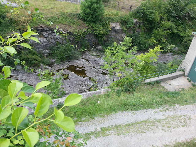
Rode down the gravel road through what might have been a natural ravine, but was more likely a man-made cut in the rock walls. This was strikingly beautiful, and a clear indication that Middlesex County had been left behind.


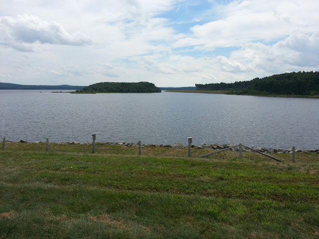
The gravel road emerged from the cut, revealing fine views of the Reservoir.

A hard-packed dirt track forks off the gravel road and runs along the North Dike of the Wachusett Reservoir. This is what Google Maps shows as a bike path. I rode it to its end, enjoying the view, blessing my tires, and scattering the occasional flock of geese.

 To be continued
...
rod