All of this puttering around on gravel and dirt on the North Dike had cost time, and it had just turned 3 o'clock, with the greater part of the Wachusett Reservoir to ride around, to say nothing of getting home. I wanted to get back to the Minuteman by nightfall, and knew I needed to make time now. The path had gotten me out of Clinton and into
Sterling--not that there was any visible indication of that--and I got on West Boylston Street (Route 110) and cruised. This stretch of road was well set back from the Reservoir and heavily wooded, with gates for fire roads at intervals. It looked to me like the bulk of it was state land. The Worcester County roller coaster riding style was in effect here, spinning up hills and charging down them. I passed from Sterling to West Boylston, and West Boylston Street became Lancaster Street.
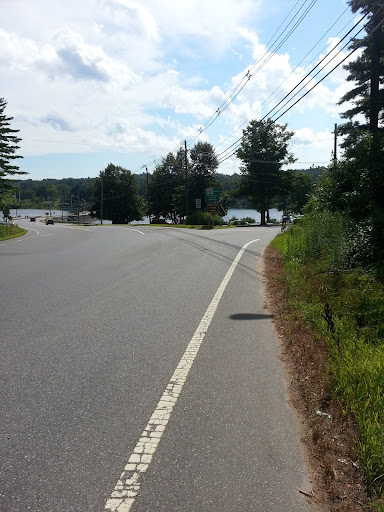
Approaching a Northwest-jutting arm of the Reservoir called the Thomas Basin, I came to another crossroads. The left fork would take me home, the right fork went to Mount Wachusett, my current working value of Out Yonder. Liminality to burn...

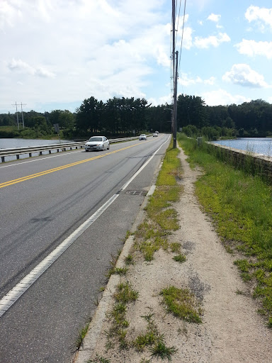
I took the left fork, and rode across Thomas Basin on the causeway, noting as I did the
Old Stone Church, an enigmatic monument to the communities displaced to create the Wachusett Reservoir over a hundred years ago.

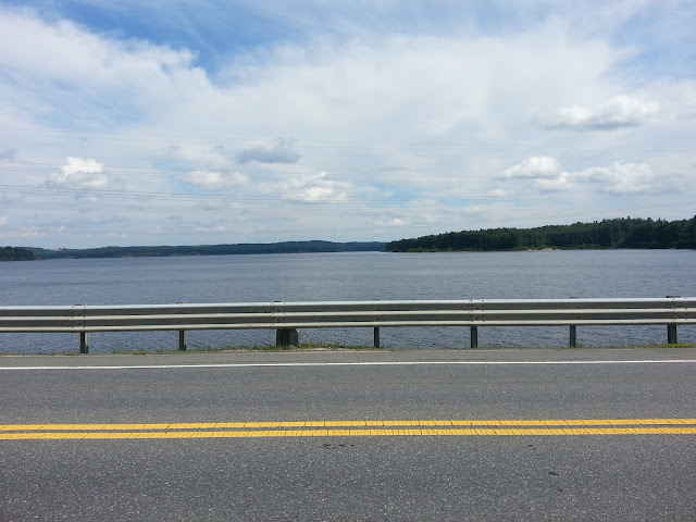


At the far end of the causeway, I caught a glimpse of Mount Wachusett through the trees, and felt the tug of Out Yonder.
 To be continued
...
rod