Originally Posted by
jamawani
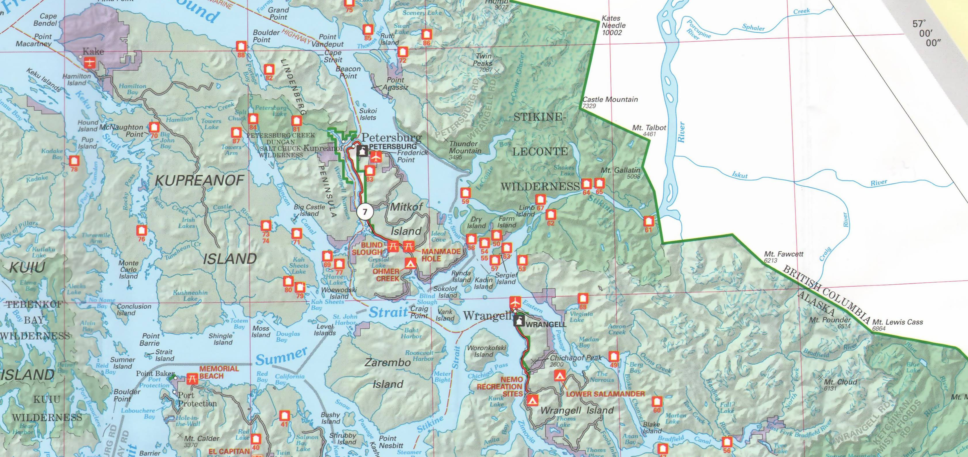
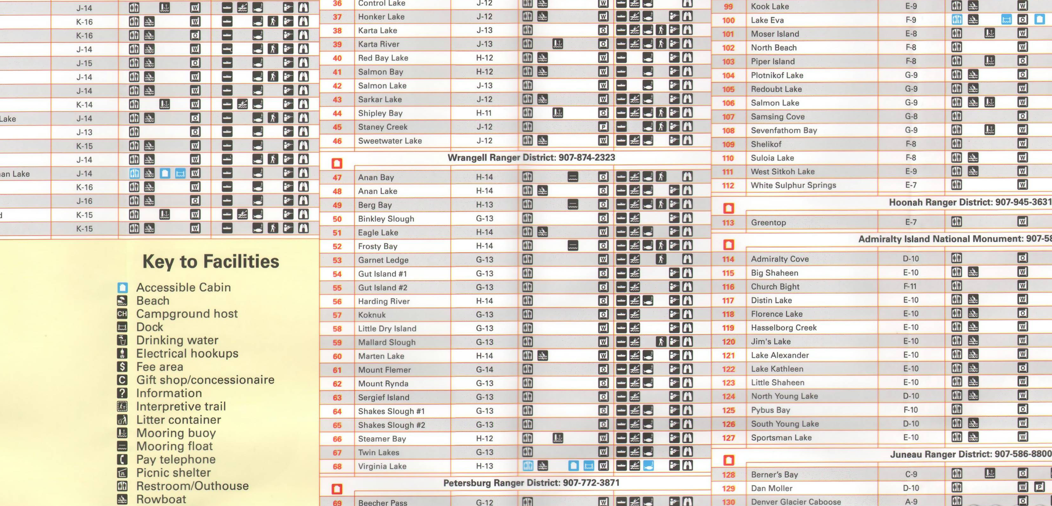
US Forest Service maps are the bomb.
Most of them are now plastic and cost about $10 per.
These maps are done at a scale of 1" = 2 miles and give great detail.
Most also have contours plus detailed road layout.
They are perfect if you plan to get off your bike and explore.
And, of course, they are usually in lovely mountain scenery.
This website has a few dozen in the West scanned - PaperMapsOnline:
Shoshone National Forest North - Paper Maps Online
You can see the spectacular Wapiti Canyon east of Yellowstone on the Shoshone N.F.
(Sometimes their homepage doesn't load correctly - but if you google by name and state, it will)
Yes they are great----->BUT at 1" per 2 miles thats 25-50 inches of map per day. AND a huge pile of plastic-paper.
this is lighter (and disposable OR NOT):
*btw: those are quick examples but with thought, could be easily organized.