Originally Posted by
indyfabz
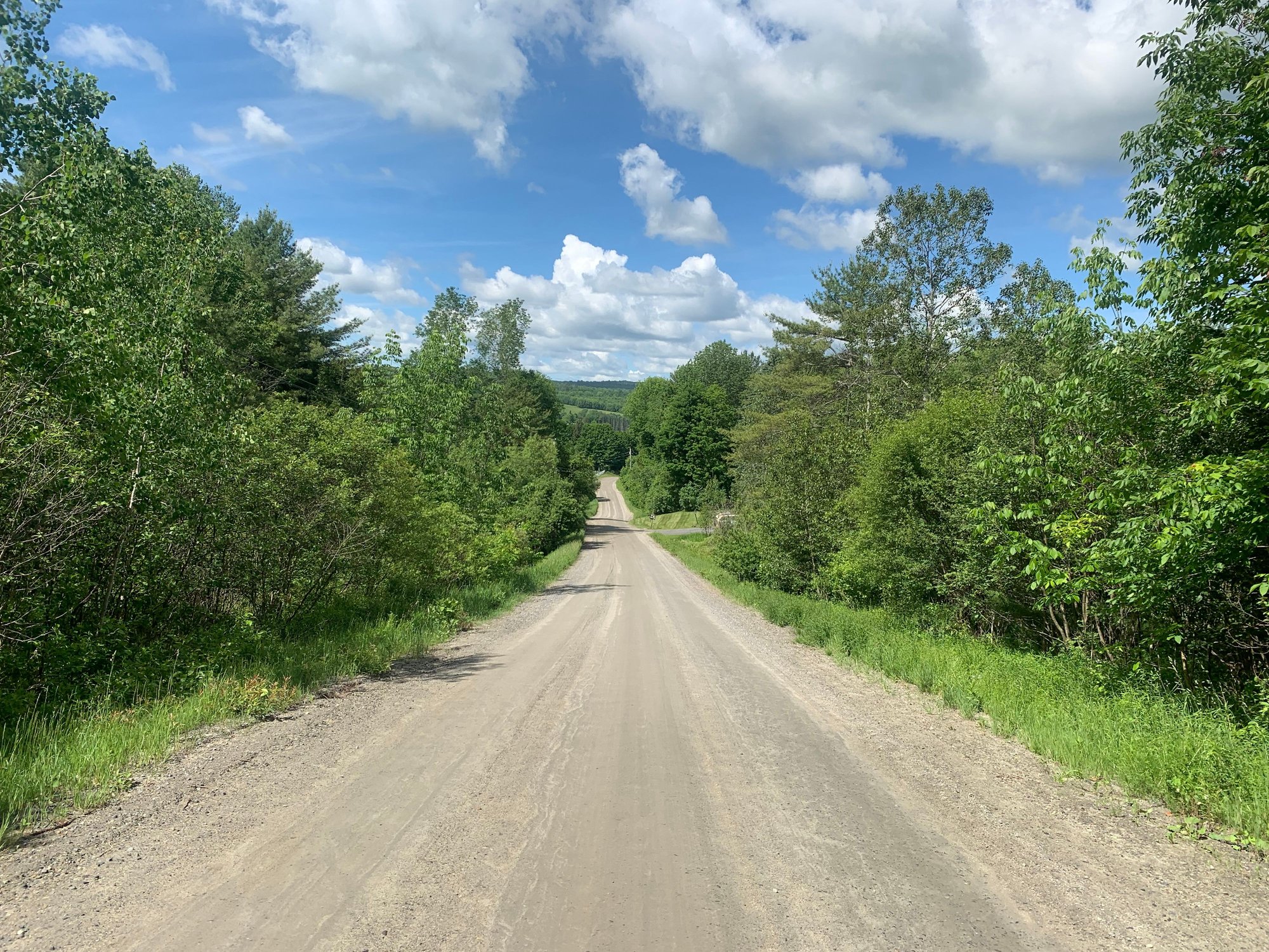 Can�t really tell, but this was steep.
 This was also very steep.
I believe you about these being steep, but it brings up a question: how can you take a picture of a road from the bottom that shows how steep it really is?
I've only found two ways. First is the case of a curve in the road -- where there aren't too many trees blocking the view of the road ahead -- that shows an upcoming grade against a background that provides some reference.
 Note the switchback at the end of the visible pavement headed to Washington Pass
The second way is to look down from the top and note you've already ridden this one.
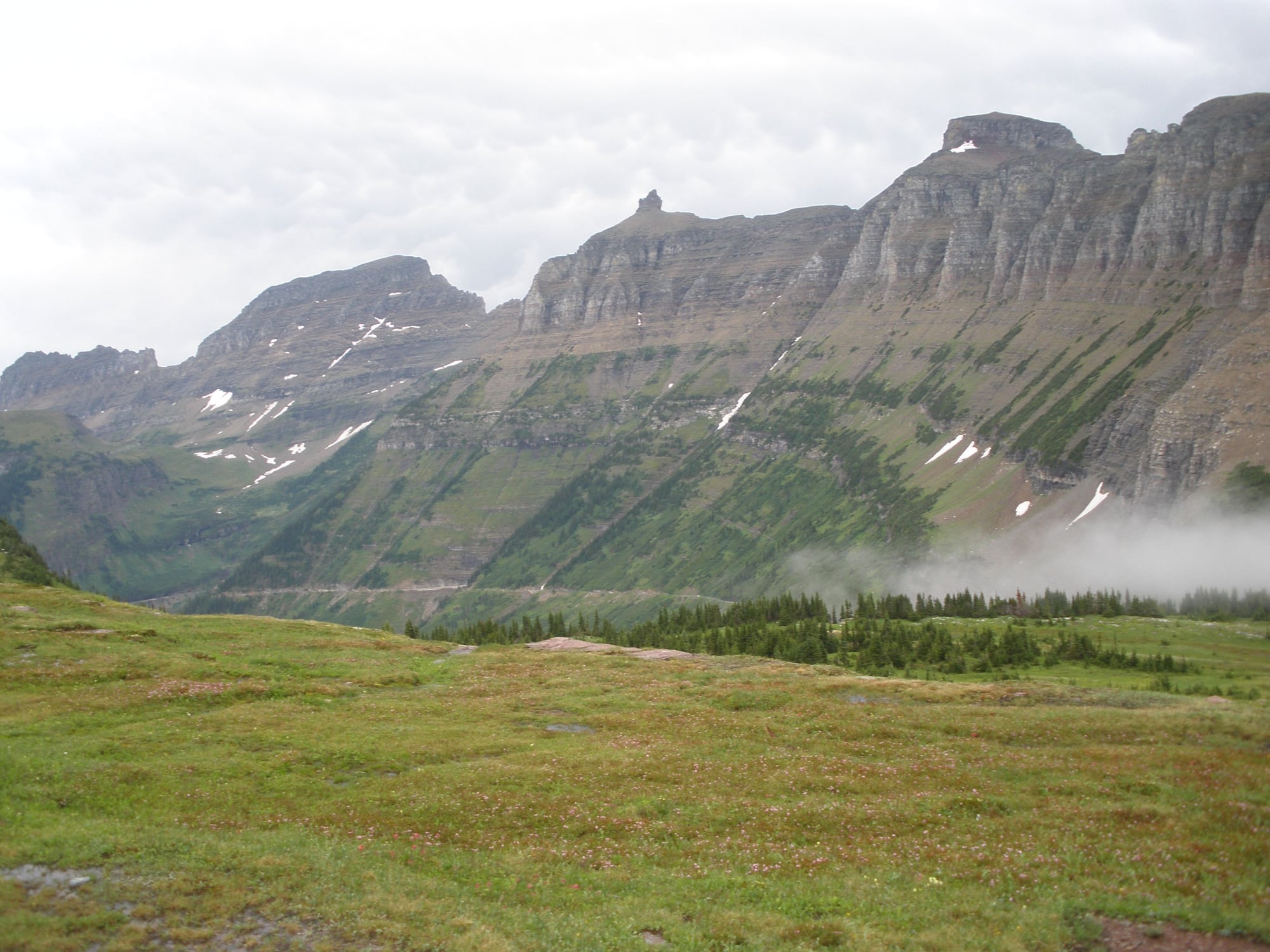 Going to the Sun Road from Logan Pass
But in a lot of cases you've only got a view of a few dozen yards of road, and even if there's a view from the top, your view of the road below is blocked by trees or curves in the ridge. So how are you supposed to convey the information that climbing that stretch is or was tough, without some "trust me" verbiage?