Glad you got the trip in. I've been watching the radar over North America for a few weeks**. After our last red-zone events a couple-few weeks ago (Milw, Madison..Wisconsin in general) that came from Ontario/Quebec fires, the region north of Lake Huron up to James Bay has seen a fair bit of rain. With the rains and presumably damped-fires, the air cleared up around the Great Lakes and the eastern US. I hoped we were done with the air issues. Hard to believe the current air quality here is so bad with its source so far WNW. I woke this morning (in SE WI) to a pinky-orange ball sun..not a good sign. I noticed the same pink-orange sunlight with the sunset last night..and with the light..the AQI ramps up. Was hoping to do a good ride today..not going to happen.
**We have a planned trip to Montreal and Quebec City coming up and hope the air stays..green.
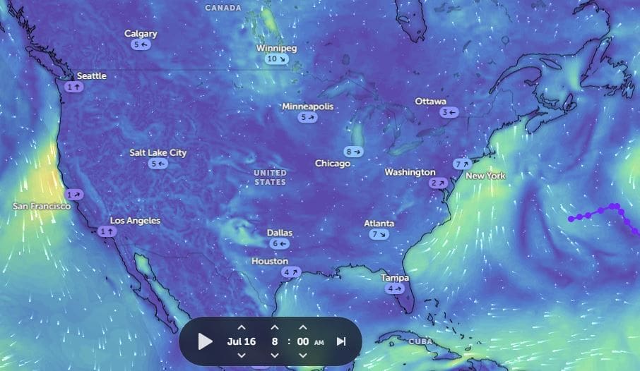
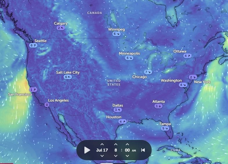
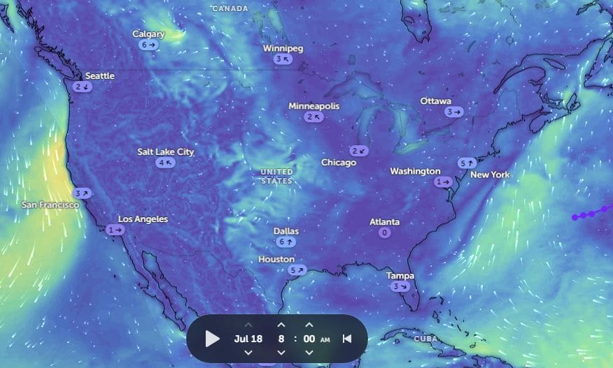
Unique combo of highs and lows, with clockwise and counter-clockwise rotation, is driving the smoke SE.
Hard to see in a static view, better to see the animated here:
https://zoom.earth/maps/wind-speed/#...,-5/model=icon
In short..it looks like were back to good air in about 2 days