For purpose of this thread, I considered the term "navigation" to mean knowing where you are, knowing where your objective for the day is (which may change on a moment notice), and knowing when to turn or go straight. As I noted above in a previous post, I use paper maps and GPS.
Some of the discussion here is broader and includes "big picture route planning", perhaps months in advance, or maybe only a day in advance. For purposes of that I use several other tools besides my "navigation" tools. And my planning tools have changed over time as electronics and software databases have gotten better.
I was an early adopter of GPS, photo below was taken in 2010 on the Katy Trail. (At that time my 3 megapixel camera was considered high end.)
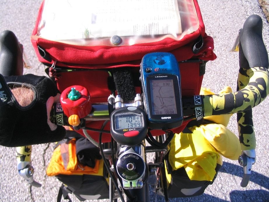
Thus, for over a decade and a half, have been using paper maps and GPS. But since then I upgraded the GPS to color screen, etc.