Atlas-
I have a hearing loss. I'd miss many voice directions from GPS while riding. For safety I don't take eyes off the road to check directions, be it from device or paper. I'll stop to check the route. That's why paper works for ME. Not because I'm old & set in my ways or have "entrenched beliefs".
I'm not suggesting you revert back to paper because GPS works well for YOU. But you're making paper mapping sound harder than it really is to others, at least in Europe. France is the easiest country in the world to piece together your own bike route. I've saved every Michelin map from previous trips in France including the sections of your proposed tour starting in Barcelona. I'd just link up the seemingly infinite choice of yellow or white D routes.
The maps fold neatly into a 4"x10" rectangle, a lot wider view than a phone or GPS. That's 30 miles of travel left to right, 13 miles up & down without zooming, scrolling or re-folding at 1/200,000' detail. Newer editions are 1/150,000'. They look as tidy as your unit does when they're tucked into a map viewer. No batteries required. "On your left!" works as good as your electronic bell. I can envision a perfect trip to Toulouse. Here's one map section midway the width of my viewer & how I would choose my route ...

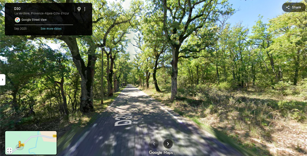
Let's see ... We'll try D-9 & D-30 from Aups to la Verdiere. I see campgrounds
(^) indicated on the map at both towns and another at Regusse. Then let's bear left on D-65 and left again at that squiggly D-470 to D-561. Looks beautiful! Let's take that route!...
I'd stop at St Martin for coffee and then plan the next segment, continuing on D-561. Rinse & repeat all the way to Toulouse. No need for pre-mapped Euro-Velo routes or bike paths. You can choose your own unique small roads. I'll use my electronic device for city details.
Here I go again arguing about maps with a guy named Atlas! 