I keep ranting about this hill I live on, so I figured I'd do a photo documentary. To review: 1 mile long, 370 vertical feet. Here's what it looks like from the approach, my house is at the top of the wooded hill on the left.

The first grade is about 3/10 of a mile, averages about 8%:

Then a brief 13% grade into the development:

Then a 3-5% respite after you first enter the subdivision (excuse the cheesy Pshop work):

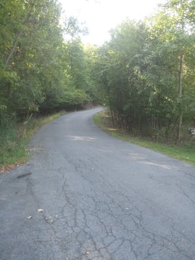
Then the longest steep section, 200 meters @ 15% (curves around, hard to photograph):
The last section is 14-17%, about 150 meters or so:

What do you get for all that? Sore legs and nice views from Casa CAD:

