some trip notes
found some way points on google maps w/ computer at home, then sent an email to myself that I can access with my phone, so in my car I was able to click on the links, launch google maps & navigate to an exact spot. then while riding, I was able to access my exact location, using google maps, which always knew where I was
10:45am left house, 45 degrees & windy
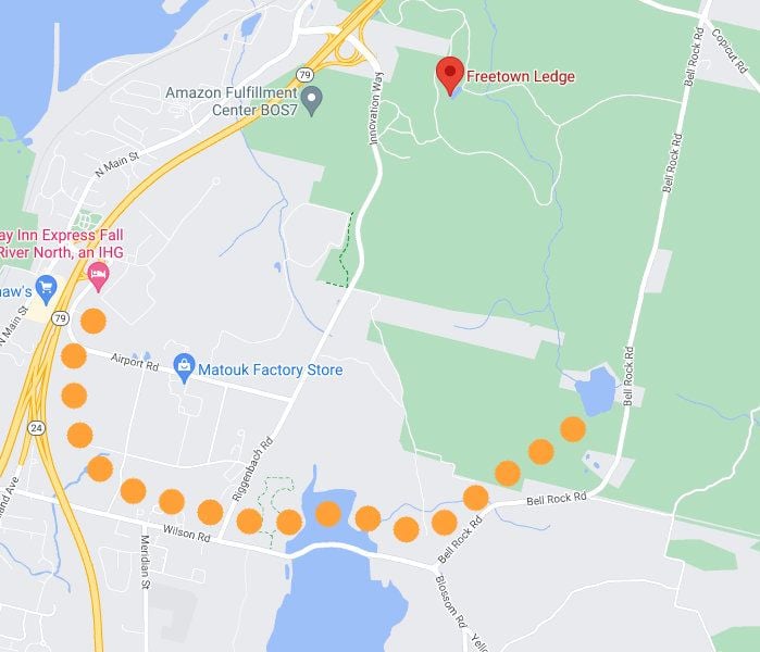
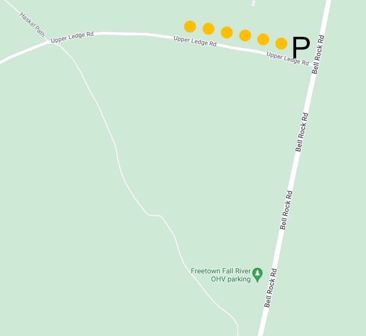
12:05 parked near the OHV (off highway vehicle) parking lot on Bell Rock Road. the lot is for gas power dirt bikes, etc. lots of other parking along the road, near other forest roads, closed to cars, such as "State Forest Rd" aka "Upper Ledge Rd"
after my ride, I drove Bell Rock Road to Wilson Road, crossed over the Watupa Pond which looks like a reservoir, to Route 24/Route 79 North
rode the loop around the quarry circa 1800. note other trails to explore & off on the left, is "Neon Marketplace", where I would later drive to for coffee & food
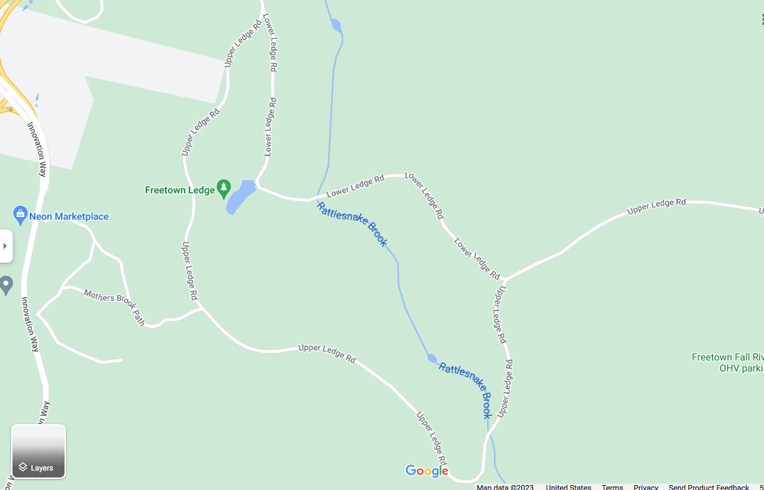
1:30pm back at the car, then rode back in, to explore near the road & found some structures which could accommodate large groups. looks like a great place to party w/ friends
after the drive to Fall River & bike ride, needed coffee & food & wanted to explore some w/ the Jeep. navigated to the Splash Pad parking, near Forest HQ
took a circuitous route, clockwise, looping down & around, then up, stopping at the large truck stop, gas station, rest area (Neon Marketplace) near some industrial businesses such at an Amazon Fulfillment Center
2:30pm got coffee & food (Dunkins)
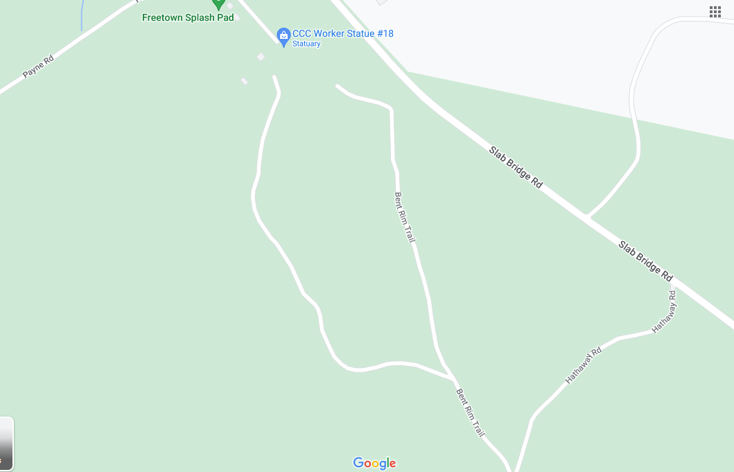
3pm restrooms at the Splash Pad (Slab Bridge Rd) are closed for the season
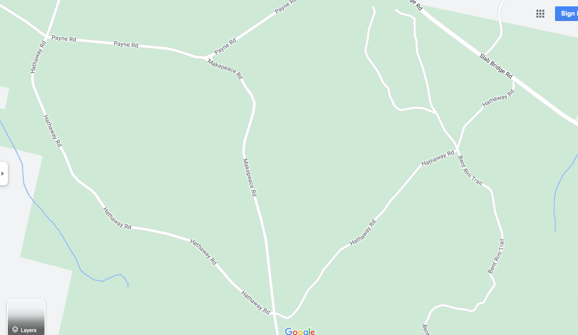
drove down Payne Rd which led me to Makepeace Rd & an intersection w/ Hathaway Rd
explored both directions of Hathaway Rd. one way (left) is not advisable, & leads back to the Splash Pad & the road is barricaded so couldn't get out & had to back track. met some ppl on bikes & on foot & it's nice in there w/o the car
Bent Rim Trail would be nice to bike on from the Splash Pad parking lot. the map doesn't show a connection but it's open & you can see the old road from the parking lot. it was dicey in an auto
use caution driving on this little network of large unpaved roads. there are craters & rocks to avoid. all easily rideable on a bike & lots of side trails to explore. advisable to carry navigation, either map & compass or cell phone
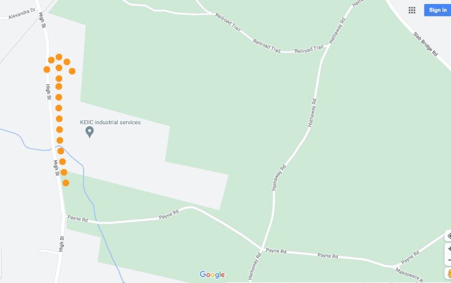
found my way out on High St
4pm no harm, no foul, back to pavement, & navigated home
5:15pm back home