


Campion Trail, Irving
 10-12-08 | 08:01 PM
#1


Thread Starter
Uber Goober
Joined: Sep 2007
Posts: 11,756
Likes: 42
From: Dallas area, Texas
Campion Trail, Irving
I figured I'd go check out the Campion Trail over in Los Collinas (part of Irving, TX). Looking online just now, I see there is an "Elm Fork Trail Section" which is what I was on, and a "West Fork" section which is not connected.
I parked at the DART park-and-ride at 348 and O Connor, which is sort of the middle of the trail, rode to the north end, wandered around on some roads, got back on the trail, rode to the north end again, then went to the south end, went a ways on Riverside, then back to the park-n-ride.
On the north end, the trail ends at a park north of 635 and south of Valley view lane. The trail has actually been built farther north, but is not open yet. The trail is obvious on Google aerial photos, but the new part isn't shown on them.
The south end of the trail is on Riverside Drive, where Las Colinas Blvd runs into it.
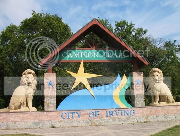
The trail sign at 348, which is near the south end:
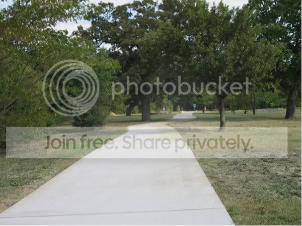
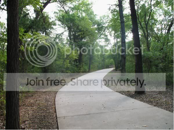
Starting down the trail at the north end:
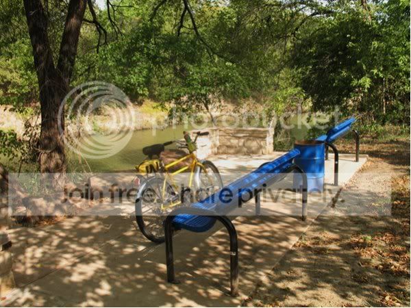
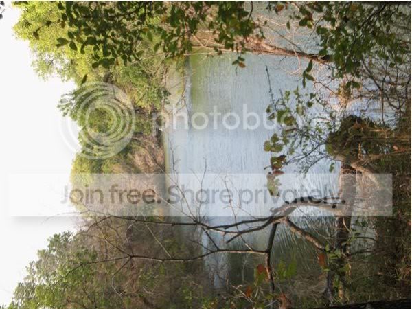
One of the river overlooks:
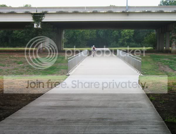
It was a gorgeous day, but there were still very few people out- here's one of maybe 20 cyclist I met along the way:
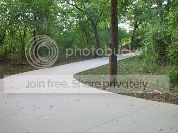
The trail winding south:
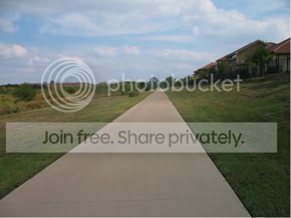
There are some more open parts:
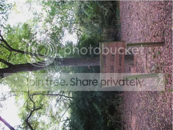
I don't know an elm from an apricot, but this sign says it's an elm, so it must be. "State champion" just means it's the largest of that species known in the state. It's not like a contest at the state fair or anything.
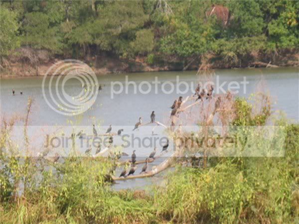
Some birds spotted along the way. I think these are cormorants, but I'm not a bird expert, either, and didn't bother digging the bird book out.
I scared up a heron near the south end, and this is where he flew to:
I parked at the DART park-and-ride at 348 and O Connor, which is sort of the middle of the trail, rode to the north end, wandered around on some roads, got back on the trail, rode to the north end again, then went to the south end, went a ways on Riverside, then back to the park-n-ride.
On the north end, the trail ends at a park north of 635 and south of Valley view lane. The trail has actually been built farther north, but is not open yet. The trail is obvious on Google aerial photos, but the new part isn't shown on them.
The south end of the trail is on Riverside Drive, where Las Colinas Blvd runs into it.
The trail sign at 348, which is near the south end:
Starting down the trail at the north end:
One of the river overlooks:
It was a gorgeous day, but there were still very few people out- here's one of maybe 20 cyclist I met along the way:
The trail winding south:
There are some more open parts:
I don't know an elm from an apricot, but this sign says it's an elm, so it must be. "State champion" just means it's the largest of that species known in the state. It's not like a contest at the state fair or anything.
Some birds spotted along the way. I think these are cormorants, but I'm not a bird expert, either, and didn't bother digging the bird book out.
I scared up a heron near the south end, and this is where he flew to:
__________________
"be careful this rando stuff is addictive and dan's the 'pusher'."
"be careful this rando stuff is addictive and dan's the 'pusher'."
 10-12-08 | 08:02 PM
#2
Thread Starter
Uber Goober
Joined: Sep 2007
Posts: 11,756
Likes: 42
From: Dallas area, Texas
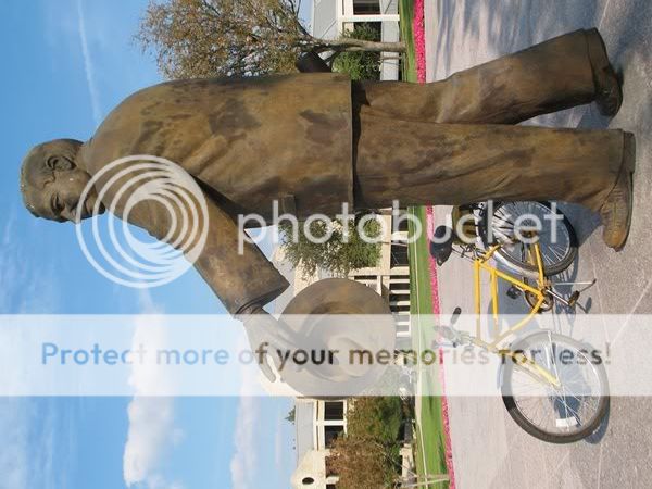
I followed RIverside for a ways past the end of the trail, and found this statue, I believe of John Carpenter, for whom the freeway is named:
I'm not sure of the total length of the trail, maybe 5 miles? I got in 17.5 miles, but part of that was on roads rather than the trail. The trail is wide, smooth, low traffic, would be great for kids to ride on, and mostly level.
I'm not sure of the total length of the trail, maybe 5 miles? I got in 17.5 miles, but part of that was on roads rather than the trail. The trail is wide, smooth, low traffic, would be great for kids to ride on, and mostly level.
__________________
"be careful this rando stuff is addictive and dan's the 'pusher'."
"be careful this rando stuff is addictive and dan's the 'pusher'."
10-13-08 | 08:46 AM
#3
crash survivor
Joined: Aug 2007
Posts: 654
Likes: 0
From: Irving, TX
Bikes: C-dale rush, Mountain cycle fury, Monocog 29er, Haro hard tail VX, Scattante R330
LBH off road trail is near the south end as well, just turn east off the trail on California crossing, the 1st parking lot on your right is the trail head. Its a mile loop, that a cross, or MTB can ride.
The Nroth end loop is schedueld to be open mid Nov. should add another 3 miles RT.
The total trail will be 22 miles once complete in ~2015?
The Nroth end loop is schedueld to be open mid Nov. should add another 3 miles RT.
The total trail will be 22 miles once complete in ~2015?
10-13-08 | 09:07 AM
#4
Senior Member
Joined: Jul 2008
Posts: 161
Likes: 0
From: Flo Mo, TX
Bikes: '08 Specialized Tricross, '05 Haro MTB, '94 Raliegh M-30, et al.
John carpenter looks like he's about to mount that bike. You didn't see a big giant turtle over there with "FRED" painted on his back, did you? My kids let him go over there about 5 years ago. My wife and I rode that trail on about our first date - I had to see how she looked in some bike pants and see if she could ride a bike. Important stuff. She did good, but it's been down hill ever snce!
