


New Google Maps - - Yeech!
 11-24-24 | 06:42 AM
#51
Senior Member


Joined: Aug 2010
Posts: 12,753
Likes: 2,112
From: Madison, WI
Bikes: 1961 Ideor, 1966 Perfekt 3 Speed AB Hub, 1994 Bridgestone MB-6, 2006 Airnimal Joey, 2009 Thorn Sherpa, 2013 Thorn Nomad MkII, 2015 VO Pass Hunter, 2017 Lynskey Backroad, 2017 Raleigh Gran Prix, 1980s Bianchi Mixte on a trainer. Others are now gone.
My Garmin Nuvi kept telling me to instead do a 200 plus mile circuitous route instead. Photo below:

I also had my general recreation GPS that I use for camping and bike touring. I turned that on and put in my destination into it. It also told me to drive a couple hundred extra miles when I set it for car routing. I was driving an SUV, but I often set that GPS for tour cycling, so I just did that to see what would happen. When set for tour cycle routing, it followed the county road perfectly. (Sorry, no photo.)
So, the GPS map must have had a short section of missing road that car routing would not accept, but bicycle routing would accept.
My handheld GPS was using Open Streets maps for routing. My Garmin Nuvi for my vehicle was using whatever Garmin uses for their map updates, I had updated the Nuvi maps a few months before.
 11-24-24 | 10:30 AM
#52

Mad bike riding scientist


Joined: Nov 2004
Posts: 29,184
Likes: 6,264
From: Denver, CO
Bikes: Some silver ones, a red one, a black and orange one, and a few titanium ones
That probably is what happened to me last month driving my vehicle up in Northern Minnesota on a gravel road. I needed to go a straight shot about 25 miles according to the county paper map.
My Garmin Nuvi kept telling me to instead do a 200 plus mile circuitous route instead. Photo below:
I also had my general recreation GPS that I use for camping and bike touring. I turned that on and put in my destination into it. It also told me to drive a couple hundred extra miles when I set it for car routing. I was driving an SUV, but I often set that GPS for tour cycling, so I just did that to see what would happen. When set for tour cycle routing, it followed the county road perfectly. (Sorry, no photo.)
So, the GPS map must have had a short section of missing road that car routing would not accept, but bicycle routing would accept.
My handheld GPS was using Open Streets maps for routing. My Garmin Nuvi for my vehicle was using whatever Garmin uses for their map updates, I had updated the Nuvi maps a few months before.
My Garmin Nuvi kept telling me to instead do a 200 plus mile circuitous route instead. Photo below:
I also had my general recreation GPS that I use for camping and bike touring. I turned that on and put in my destination into it. It also told me to drive a couple hundred extra miles when I set it for car routing. I was driving an SUV, but I often set that GPS for tour cycling, so I just did that to see what would happen. When set for tour cycle routing, it followed the county road perfectly. (Sorry, no photo.)
So, the GPS map must have had a short section of missing road that car routing would not accept, but bicycle routing would accept.
My handheld GPS was using Open Streets maps for routing. My Garmin Nuvi for my vehicle was using whatever Garmin uses for their map updates, I had updated the Nuvi maps a few months before.
__________________
Stuart Black
Dreamin' of Bemidji Down the Mississippi (in part)
Plan Epsilon Around Lake Michigan in the era of Covid
Gold Fever Three days of dirt in Colorado
Pokin' around the Poconos A cold ride around Lake Erie
Dinosaurs in Colorado A mountain bike guide to the Purgatory Canyon dinosaur trackway
Solo Without Pie. The search for pie in the Midwest.
Picking the Scablands. Washington and Oregon, 2005. Pie and spiders on the Columbia River!
Stuart Black
Dreamin' of Bemidji Down the Mississippi (in part)
Plan Epsilon Around Lake Michigan in the era of Covid
Gold Fever Three days of dirt in Colorado
Pokin' around the Poconos A cold ride around Lake Erie
Dinosaurs in Colorado A mountain bike guide to the Purgatory Canyon dinosaur trackway
Solo Without Pie. The search for pie in the Midwest.
Picking the Scablands. Washington and Oregon, 2005. Pie and spiders on the Columbia River!
11-24-24 | 11:10 AM
#53

The space coyote lied.
Joined: Sep 2008
Posts: 48,841
Likes: 11,033
From: dusk 'til dawn.
Bikes: everywhere
Yep, a backup is always nice. That's why I bring at least two phones with downloaded maps when I'm really out there. For tricky unnamed road/trail sections I'll do a cue sheet with each turn also showing the approximate bearing of the road I'm turning onto so I have a good idea it's the road/trail I want
11-24-24 | 11:53 AM
#54

aka Timi
Joined: Feb 2009
Posts: 3,611
Likes: 325
From: Gothenburg, Sweden
Bikes: Bianchi Lupo & Bianchi Volpe Disc: touring. Bianchi Volpe: commuting
I get lost all the time 😆 Times have changed and I use Komoot and Google Maps nowadays but still have a paper map and compass. Still I get lost as I daydream too much and end up asking locals to point me in the right direction.
I‘m amazed at how much planning some of you guys do ✌️
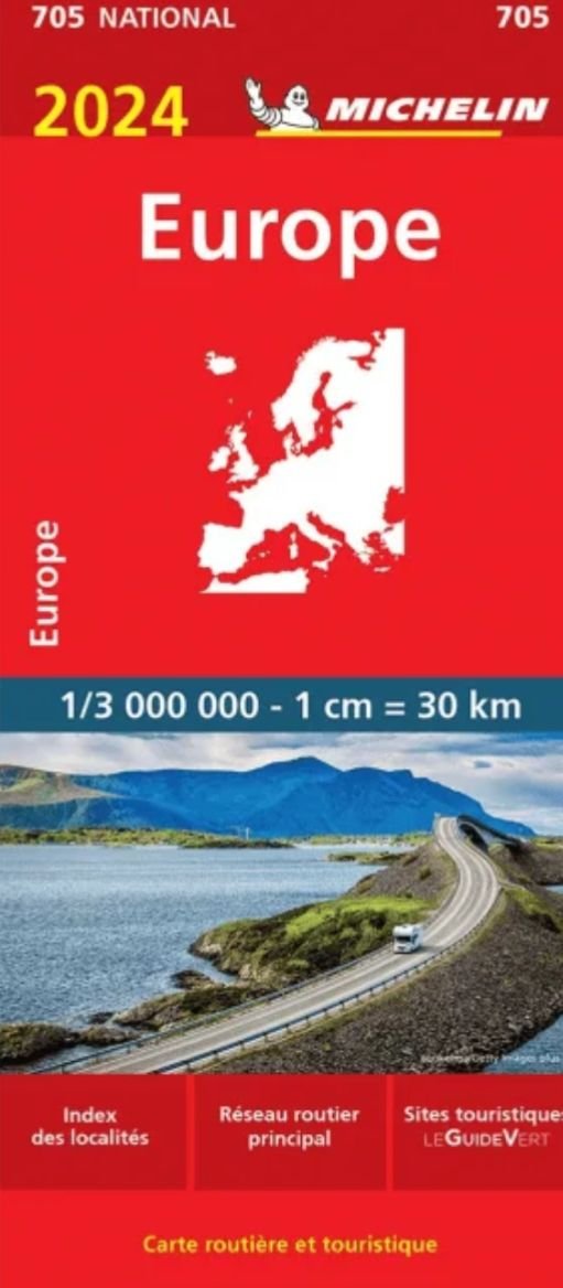
Just reminiscing, but on my first long tour from Sweden to Spain in 1985, the only map I had was a Michelin map of Europe 1: 3 000 000 🤣
I got there on my five speed bike with plastic pedals and barefoot all the way.
I‘m amazed at how much planning some of you guys do ✌️
Just reminiscing, but on my first long tour from Sweden to Spain in 1985, the only map I had was a Michelin map of Europe 1: 3 000 000 🤣
I got there on my five speed bike with plastic pedals and barefoot all the way.
Last edited by imi; 11-24-24 at 12:13 PM.
11-30-24 | 11:10 AM
#55

Senior Member
Joined: Jan 2006
Posts: 3,655
Likes: 1,678
The Loire at Gien:

Last edited by Yan; 11-30-24 at 11:15 AM.

